Seasons, Social Tides, and Sea Level Rise
FOR A WHILE now, I’ve wanted to write about sea level rise. But it’s an intimidating subject – and one that doesn’t summarize well. Its geological realities are exacerbated by its social complexities. It’s daunting financially and totally mind-bending on an existential level. It’s ubiquitous, stuffing itself into our coastal thoughts and dialogues. In short, it’s a freaky, contentious, overlarge topic.
If Phippsburg were an animal it would be a blue heron. Gangly and a little awkward in one moment, totally graceful in the next. All leg and wing, some thumping heart and boney spine bobbing between. A patient sort of shoreline hunter. Which is to say, sometimes, lately, Phippsburg feels like all shoreline and water – a vulnerable tangle of bedrock, pine root and tide, animated by an ancient sort of tenacity.
Maybe I have this sensation because I live on a narrow strip of dry land, between a tidal pond and a flat bay. I’ve lived here eight months now. I’ve seen a little of the changing foreshore out on Popham Beach and in the way new wads of salt-marsh hay pile on the intertidal ledges, swept in from storm surges elsewhere. I’ve heard about longer-term changes from others – from you, maybe. Though we might use different words, we’re all talking about change, lately.
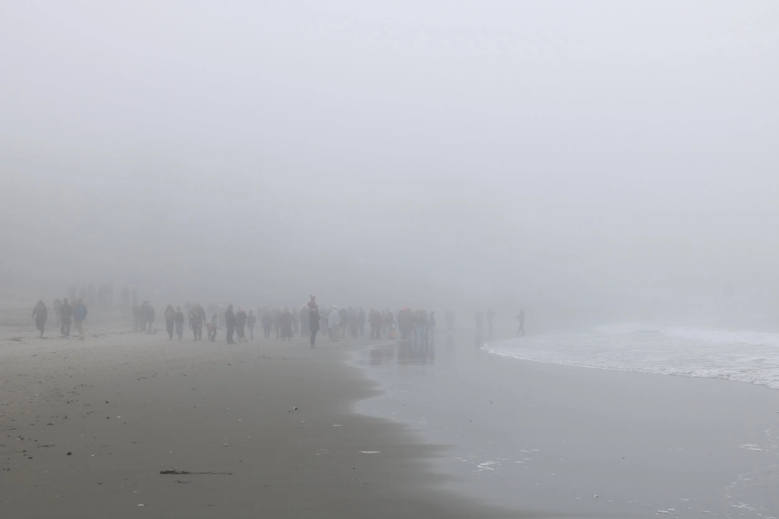
That humans gather on beaches in all weather is a good reminder that we don’t really understand ourselves at all. Head Beach last fall.
I wanted to write about sea level rise but other things kept cropping up. That was the excuse. It was partly true. In reality, it just seems like such a painful problem – and one that isn’t “mine” to write about. And, as ever, but somehow particularly with this issue, I’m aware that I’m a visitor here in Phippsburg, a fleeting newcomer. But then I remind myself, that if “here” is defined more broadly, as say, the globe, then perhaps I can say my piece, with Phippsburg as our shared microcosm. This small planet is pretty small. We share problems consciously and unconsciously. Some folks bear the brunt more, some less. Short of fleeing to another planet (don’t get me started), this is home for all.
A FEW THINGS coincided to get me writing.
First, Laura Sewall has been guiding three Bates students in their environmental studies senior capstone project. The students interviewed Phippsburg residents about their relationship to sea-level rise. Those students gave a presentation at the end of April, on a blue, brisk morning at the Shortridge Coastal Center. I’ll return to the contents of that presentation in a moment.
Second, the summer visitors have started zipping down Popham Road, past the house I’m living in, to the beach. I wonder: Where do they go at high tide? And does everyone who arrives know to expect the sight of the once-sloping dunes cut to a severe edge?
Third, on the other side of the peninsula, residents, the town, and now the state are deliberating a seawall in Cat Cove. The seawall would harden and increase a riprap barrier – one that failed to protect a resident’s home during the 2024 storms. Cat Cove is a public access point to the water, at the bottom of West Point’s Wallace Circle. Several people have now mentioned this seawall issue to me, with varying takes. But all acknowledge the inherent difficulty of working toward a common goal in such a tightly wound social and hydrological system.
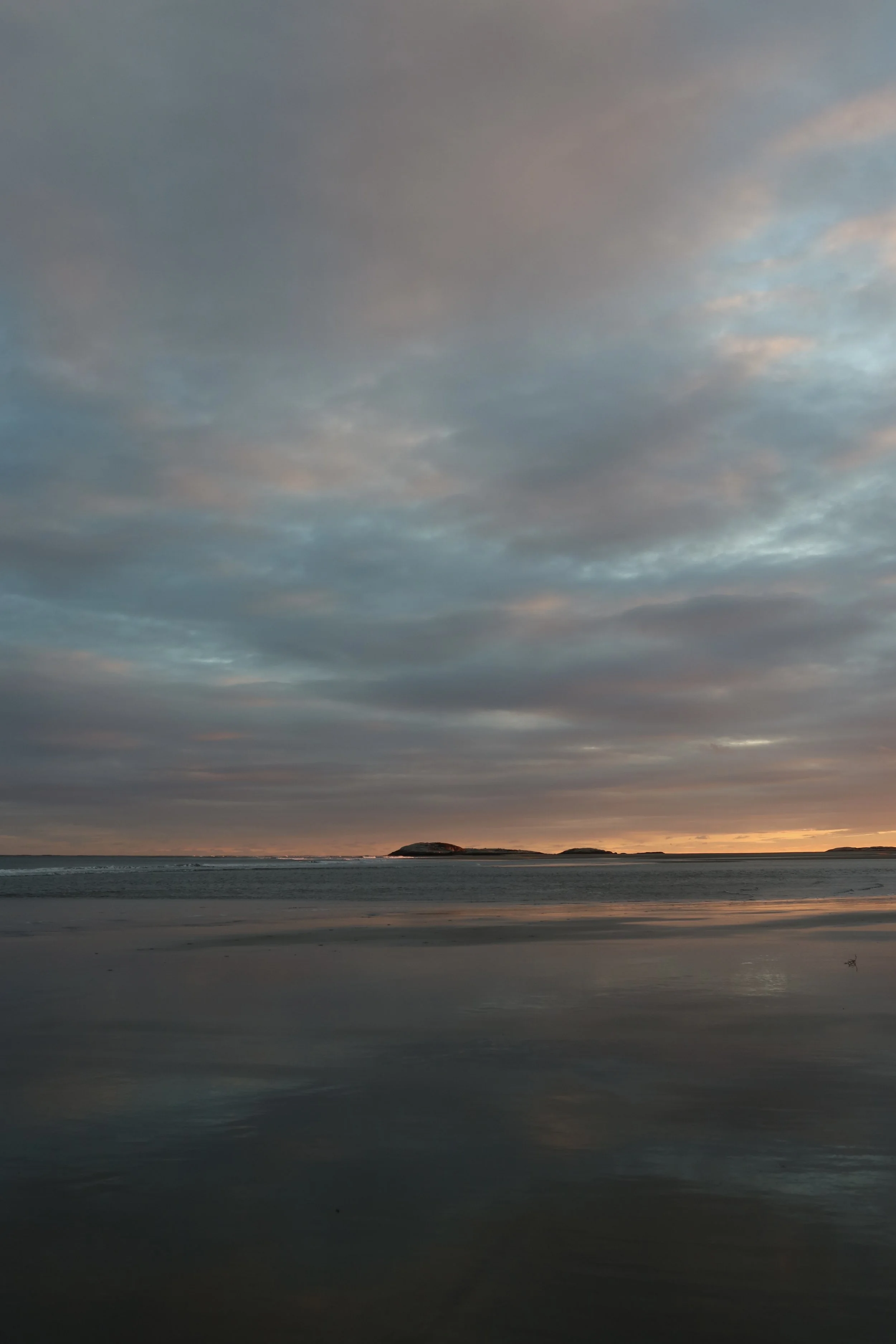
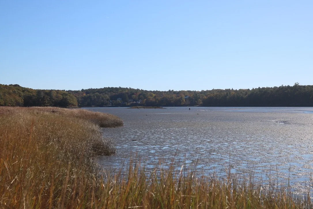
A familiar scene.
THE BACKDROP TO all of this is the ongoing work of a team from the Gulf of Maine Research Institute and the Phippsburg Climate Resilience Committee. GMRI has been hired (with grant funding) to conduct a sea level rise vulnerability assessment. This means that they’re placing water gauges, assessing historical tide levels and collecting data to ascertain how rising seas impact Phippsburg’s unique shoreline, and collecting anecdotal evidence – AKA personal stories – from residents. (On May 20th, at Fort Popham, GMRI is running a flood impact assessment workshop. Details here.)
Mucking around in this problem isn’t just about measuring inches and documenting storm surge. It’s delicate, sometimes uncomfortable work. Sea level rise is contentious. Some folks prefer to qualify tidal shifts as part of a big cycle – one that happens to be rising now but will eventually subside – or turn a blind eye to shoreline changes entirely. This last option is getting trickier.
Sometimes, the basic reality that rising seas impact everyone has gotten left by the political wayside. And yes – the topic of sea level rise can get peoples’ hackles up. But the careful work that GMRI is doing can also provide people a much-needed space to release pent-up feelings and thoughts. Increased storm surges that wreck one’s sense of security are traumatic. Just as these traumatic stories help researchers like GMRI add context to their quantitative data, it can be incredibly helpful for people to feel heard.
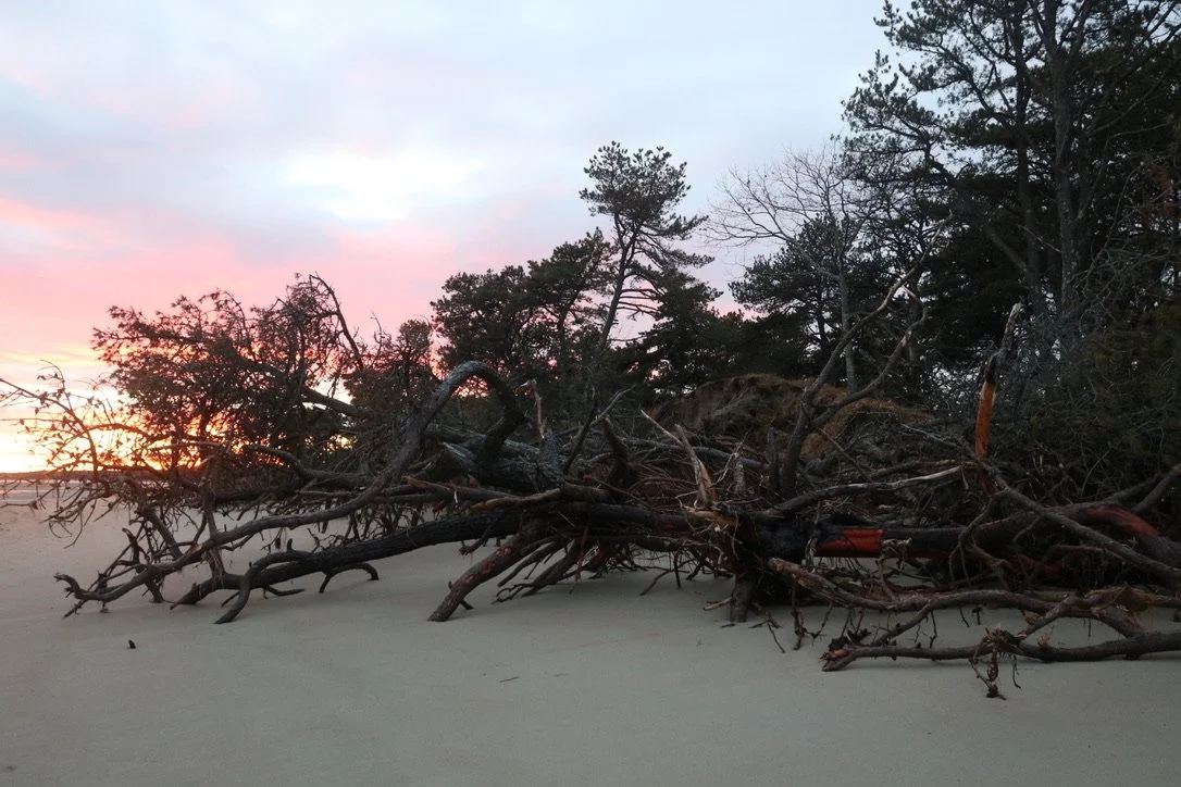
Last fall on Popham. Many of those trees have drifted on now.
OFTEN, WHEN WE talk about rising tidelines, we’re using averaged measurements. But it's way more complicated than this. Here’s a familiar example: The Popham Beach hydrological system is super complex. There’s the whole brunt of the ocean being pulled in and out by the moon – that distant, crucial, oft-overlooked chunk of this spherical ecosystem – and there are two rivers of undulating and competing forces snaking into each other.
Morse River courses through fairly soft substrate – salt marsh and sand – whereas the Kennebec’s watershed carves down between the rocky outcrops of Georgetown and Phippsburg. Morse River waggles. That’s the word I keep coming back to. It’s a slow waggle, but nevertheless, there it goes, its littoral current drifting this way and that. The Kennebec, on the other hand, is less dynamic. The eddy currents of its mouth certainly shift, but with less dramatic impact on the riparian banks.
So, the impacts of sea level rise on Popham Beach are the result of a complex system. Morse (waggling) + Kennebec (subject to inland flooding or drought) + sea level rise + increased storm surge. But we know in our guts that even this formula is oversimplified. It lacks elements of endless nuance, those numerically immeasurable bits, cycles of planetary pull, polar ice melt, wind-surge, and, crucially, the human love of and relationship to place. Which brings me to the thing that actually got me up and writing, just now.
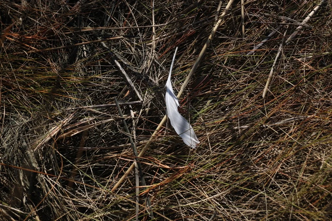
The little details that make a season.
I’VE BEEN MISSING the theoretical work of the humanities. It’s such a joy to read other people’s tangled thoughts, feel them become less obscure on the page and in turn provide some clarity to the material world. I was reading a paper published in BioScienceon the values and rights of and to water, and came across this line: “Water values are as diverse and wide ranging as cultural imaginations.”
This paper isn’t talking about sea level rise. It is, however, talking about water as a bodily, spiritual and commercial need. Certainly, all of those elements apply here in Phippsburg. We drink water from wells. We bathe. We move to or visit the shoreline for the sea’s strange immensity. We sail and kayak. We wait out snowfall and rainfall and drought. We watch storms whose oppressiveness makes the Beaufort Scale seem an inadequate descriptor. We fish for pleasure and livelihood, tradition and escape from the buzzing confines of land.
The paper, however, also argues for the rights of water. As in, water, like a person (or a corporation…?) must have rights. Now this is something we don’t talk much about around here – at least not in those words. I wonder, however, if to many of us, this is simply an inherent belief, even if unspoken – or spoken in different words – that that big ocean lapping at these old shores is also sort of alive, entirely precious, at once violent and innocent. But maybe I’ve just spent a lot of time hanging out with saps and poets and fishermen.
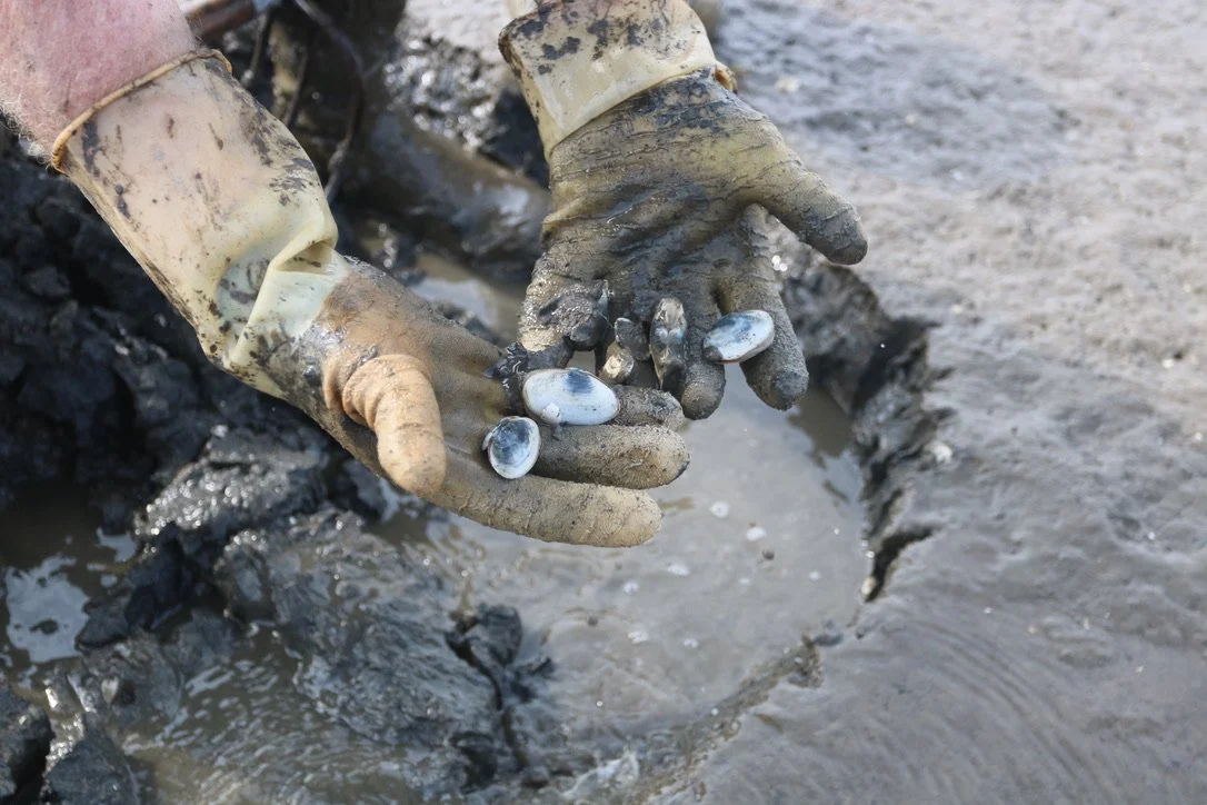
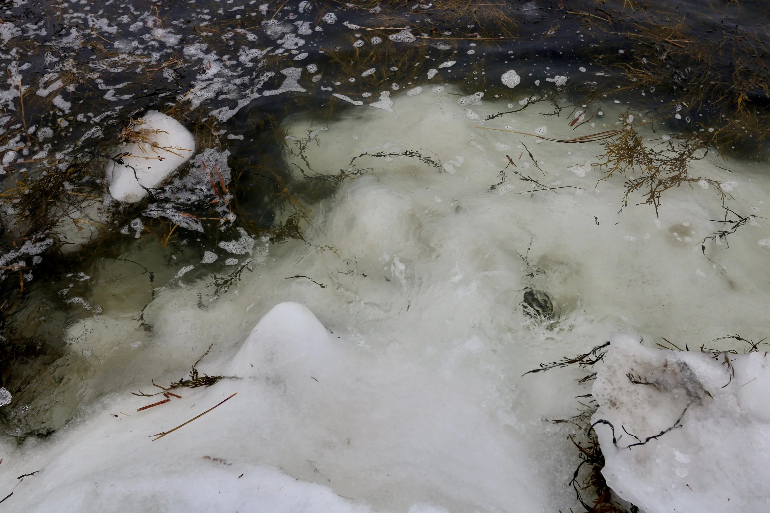
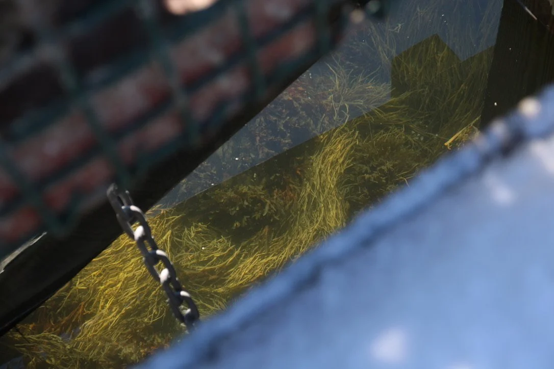
Young soft shell clams.
AT THE END of the day, I’d wager that it’s likely we all have, no matter our human connections, minute differences in how we perceive the ocean. Which its difficult to talk about sea level rise – it’s simply impossible to try to speak for everyone.
That paper describes how varied “cultural imaginations” shape our water use and governance. “Cultural imaginations” might sound like a totally wonky term, but it's actually pretty straight forward. It refers to the collective systems of belief that allow for collaboration. The collective adherence to, say, a specific legal system, is a product of such imagination. Something as strange and powerful as money requires such cultural mythos. The notional evolution of Santa Claus from a 3rd-century monk to a round-bellied harbinger of material excess is guided by the same. As is, say, the relatively new adherence to the rigid, seasonally-unfluctuating, ever-more-monstrous American pipeline of the 40+ hour work week.
These collective belief systems can be huge or small: global, neighborly, familial, personal. But as resources like shorelines become more finite or tenuous, and as more cultures overlap, the variables of these “cultural imaginations” come to the fore. These variables can certainly make it more difficult to collaborate. While this difficulty is at best frustrating and at worst harmful, it isn’t always a sign of an ultimate community failure. Indeed, advocacy work is all about maintaining constant friction in the hope that a more balanced system emerges.
Sometimes, in all my worrying about the future of the ecosystem, I forget that I’m living in it right now. Little details are a fine reminder.
IN THE SCOPE of sea level rise, seawalls are a growing topic across the globe. This is one of those intensely difficult community conversations. Seawalls are meant to protect. But when we talk about seawalls, we often end up talking systems and balance. This is because protection is rarely ever straightforward. Quite often, the ways that we protect ourselves aren’t so obvious. If we’re lucky: We invest dollars in distant companies in an effort to protect our financial futures; we buy houses in the best neighborhoods that we can afford; we eat good food to support the health of our bodies. All of these things have impacts – those impacts are often beyond our horizons. Seawalls, however, offer a close-up view of the interconnectivity of self-protection and its potential impacts.
HERE’S A FAMILIAR, albeit rather reductive example of how seawalls break water:
Seawall and Popham Beaches are the powdered remains of big mountains, inland ecosystems and benthic shells. They shift and roll, form a loose substrate that the roots of roses, sharp shore-grass and sprawling beach-pea bind into some semblance of stasis.
The Atlantic Ocean breaks on this system. Those infinite grains of beach sand absorb the power well because they can shake, shimmy, roll and resettle. But what happens when a chunk of heavy driftwood stump emerges on the beach sand? Its particles are bound too tight for the energetic dispersal that sand offers. So as the water breaks also on this harder object, its kinetic energy slants off into the softer sand, until, eventually, a small moat is scoured. Eventually, the stump tilts, sinks or is otherwise dislodged.
If that stump is instead a seawall, the system functions in a similar fashion. Though seawalls can provide some sense of protection for a single property, if they “harden” an inherently malleable substrate, they will cause the hydrological system to shift.

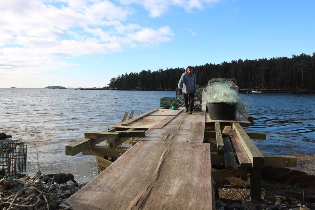
Not a seawall, but a wharf subject to waves.
SEAWALLS ARE NO new thing of course. In 2019, storm surges dug sand away from a 100-meter-long seawall submerged in the Mediterranean Sea. It was built by Neolithic villagers around the beginning of the Holocene, when global ice melt was raising the sea’s surface at outlandish rates. The seawall is 7,000 years old. (Interestingly, the first known census, or at least the sort of census that we recognize today, was conducted just a millennia later, around 4,000 BCE in Babylon. As rates of change increase, so do attempts at physical maintenance and record-keeping of what currently is. Today, one of my tasks is to complete a “Working Waterfront Inventory.” A census of the town’s shoreline.)
So no, seawalls ≠ new technology. Nor is their paradoxical and contentious fallout relegated to Phippsburg. Indeed, the theme of balanced resource use is one of the main themes of conversation in coastal advocacy work. Just seventeen miles as the crow flies, the Town of Chebeague is thinking about the same set of problems.
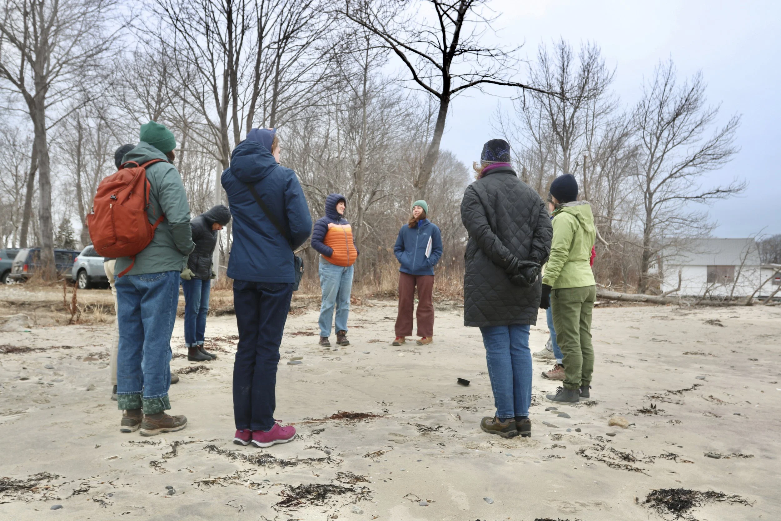
Emma Polhemus and Lorren Ruscetta guide Island Institute fellows and staff through sea level rise hurdles and systems on Chebeague Island.
LORREN RUSCETTA is the 2025-27 Island Institute Fellow on Chebeague Island. She has been working with Shore Corps Steward Emma Polhemus and the Town of Chebeague on their sea level rise response ordinances. I asked Lorren for her take. In the scope of the social and material realities of sea level rise, what was happening on a town-governance level?
Lorren said: “Chebeague Island has long prioritized resilience in planning decisions –whether it is the community's advocacy for secession or discussing options for future transportation considerations to the mainland, and sea level rise is no different – however, its simultaneously slow-moving yet urgent nature makes it complex. The town has moved toward understanding these issues from a holistic and comprehensive lens, understanding the interdependence of neighbors, ecosystems and the structures within the built environment. This has led Chebeague to focus on supporting a balanced approach to those structures, encouraging property owners and the town to consider nature-based strategies when planning and designing shoreline stabilization methods to work with nature, with this interdependence front of mind.”
These nature-based solutions try to take into account the broader system, avoiding high-risk, short-term protection and aiming instead for sustainable, low-impact buffers. They are all about compromise – and are also sort of amazingly multitudinous! They can include oyster reef restoration (like the Basin Oyster Project), dune-grass planting (as seen on Popham Beach), salt marsh and other wetland protection (KELT is a champion here) or really any strategy that allows the inherently shifty, spongy, tangled, trickling, oozing, living margin of the natural littoral system to flourish. We love living and working in these mutable systems. But when we live anywhere, we tend to try to make it as immutable as possible. So as it stands, there’s a distinct rift between how a lot of us expect to live and what the big systems of the earth allow for in the long term.
Which is to say, what Lorren is doing is hard work. Organizing or informing a community’s response to sea level rise is to engage in a collective action problem.
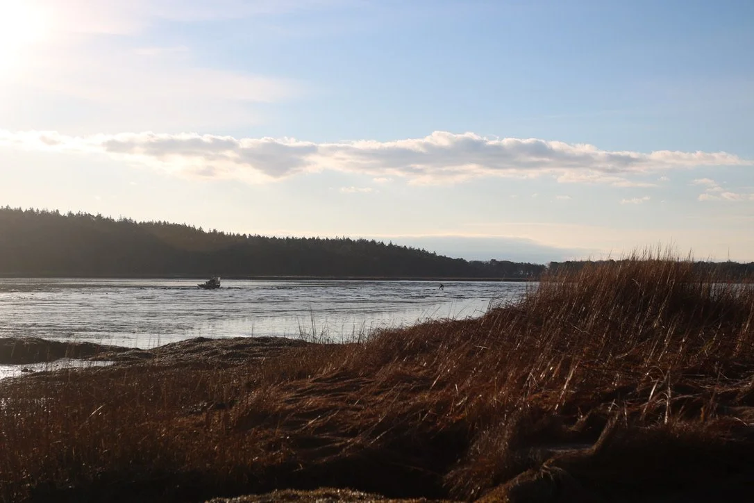
Dragging traps in with a Sebasco friend last fall. This wharf was wrecked in the 2024 storms. It was rebuilt with, if I’m remembering correctly, an efficient, two-tide family effort.
A “COLLECTIVE ACTION problem” is a large-scale, often existential issue that requires a cohesive community response. Generally, the problem involves a finite resource and high levels of social tension. The shoreline is a finite and fundamental resource in coastal communities.
A lot of scholars are focusing on this eco-social problem at the moment. Everywhere, communities large and small are re-understanding how to collaboratively maneuver between unspoken neighborhood “laws” or norms, and governance levels and domains. (All of which can be defined as “cultural imaginations”.) If a community can’t find enough common ground to move forward, a paralysis can occur. This has been called an “implementation deficit.” (Government shutdowns are an all-too familiar large-scale example.) Essentially, even when the vulnerabilities and adaptation solutions are known, implementation requires overcoming governance barriers in the context of super-complex and often hard-to-define social structures.
ONE RESIDENT I spoke with over in West Point asked about balance. Was it not an imbalance to allow the short-term protection of one neighbor’s parcel of land over the longer-term protection for the whole community?
Cat Cove is a cramped space, hydrologically speaking. It has a small, gritty beach held between stiff arms of rock. It already has some super strong natural seawalls, those old nubs of mountains. It also has a slightly more porous human-built seawall. At the moment, that seawall is really just a linear jumble of riprap, meant to shore up the looser substrate on which a highly-vulnerable, already-damaged home sits, just a few feet above the ever-increasing high tide line.
The revamping of this seawall is the main topic of current concern in Cat Cove. This is one of those topics that doesn’t necessarily feel like “mine” to talk about. By which I mean, I’m not a Cat Cove property owner, I have little skin in that specific game, and I’d like to maintain, as best I can, a position of general neutrality – or at least maintain the understanding that everybody is just trying to keep themselves afloat.
But I do talk about balances and imbalances all the time. Which is to say, I talk about systems – systems that have been evolving over millenia, but are now evolving with unprecedented speed.
That West Point resident brought up balance because of this very notion. They had a sense that, should the riprap barrier be hardened into a solid wall, the undulating rates of change in Cat Cove’s hydrological system could be about to increase dramatically. As the seawall displaces wave break, unpredictable and increased erosion could occur, perhaps endangering the community’s water access – or even the Wallace Circle road.
Of course, hydrological systems exist in tandem with the social systems, and vice versa. (That the sea is rising is the material result of social systems.) So, to buy a property anywhere is not just to buy the physical property, but to also buy into a complex social system, in which individual ideas of land use can contradict.
That’s why we have systems of governance that are – hopefully – a touch more removed from the social pressures than the average resident. It’s why we hope those systems will weigh the balances with relatively little bias, aiming for sustainable, long-term use of a finite resource. In this case, Phippsburg’s Planning Board and the Maine Department of Environmental Protection must both give the go-ahead for the hardening of the seawall.
I can be a bit of a cranky gatekeeper when it comes to the shore. Maybe one has to be a touch thorny when advocating for marine harvesters and their continued access to the working waterfront, an ever-more tenuous resource. But on spring days, I’m also reminded of the importance of play, and how a place like Cat Cove is a community resource, too. It’s an access point to the sea for recreation and work.
I never thought I’d have such a love for mudflats. They are such mysterious places! Perhaps they are mysterious because they’re largely overlooked, or perhaps it has to do with their strange scale. They are vast, sticky areas of utterly minute life. They are bird-quick and bivalve slow. They speak a different language than other places. But like other places, they are vulnerable.
SOMETIMES, IN SEA level rise conversations, commercial fishing infrastructure and ecosystems have been left out. But that pattern is shifting lately, as we learn more about the different ways to value and protect the shoreline.
For instance, some great folks at Manomet Conservation Sciences have recently started asking: What’s happening to the lower tide line? This is a new approach. Usually when we think of sea level rise and storm surge, we’re most concerned with just how high the high tide line will reach. But consider the clam digger on the mudflat: Their workspace is measured, in part, by acreage and time. The time is marked by the length of the tide. When the low tide line comes flooding in – and it comes flooding in fast, let me tell you – the digging is done.
Manomet scientists are also studying how mudflat sedimentation is changing with sea level rise. We know that turbidity, or cloudiness of the water, increases with storm surge. This impacts all sorts of things in the pelagic and benthic waters. Back in my undergrad, I worked at the Darling Marine Center for two summers. I studied the feeding behavior of Mysid on copepods in the context of increased estuarine turbidity. Did turbidity impact feeding behavior? Yes, seemingly so. Makes sense. Mysid and copepods are tiny. To them, a fleck of dust is a boulder. If the wind suddenly filled with flying boulders, I, too, would likely change my eating habits.
As the seas rise and storms increase, so does turbidity. Upland floods carry dirt into rivers and oceans. The higher the waves lap, the more of the shore’s sediment they rinse into the sea. Manomet is examining how these variables have and will change the make-up of everything, from clams and crabs to algae and plants.
Meanwhile, on the infrastructure side of things, working wharves are as susceptible to storm surge as recreational wharves, town roads or houses. If a wharf goes, it can impact an entire community. The fishermen will need to find a new place to store bait and gear, to offload. And like a coffeeshop, corner store, or an art gallery, a wharf is also a sort of third space: It’s a meeting ground, a community center, a place where relationships form and cultural ideas deepen. A private wharf, whether used commercially or recreationally, has similar intrinsic value. Wharves are often passed down through generations. They are historically and thus humanly crucial, as much as they are commercial.
Again, the details keep me going when the big picture seems a little too big.
RETURNING ONCE MORE to that paper on water rights: The authors argue for a more expansive measurement of water’s value. Water is often measured with numbers. How much do we have left? Who gets what? How fast can a river be plugged, diverted, freed? How many pounds of lobster were landed last year, how many bushels of clams sold?
Numbers translate easily between cultures, so in places of increasing cultural overlap or collision, we adhere to numbers to speak to each other, leaving more nuanced cultural significance by the wayside.
But numbers, while easy to handle, are too easily distorted. They make human-ecological problems into anonymous spreadsheets.
I don’t think of myself as a spreadsheet. You likely don’t. Communities aren’t. And just as, say, West Point or Small Point or Sebasco are communities, the clam diggers and the lobstering fleets are their own communities. This is a great benefit of storytelling – to flesh out a skeleton of numbers.
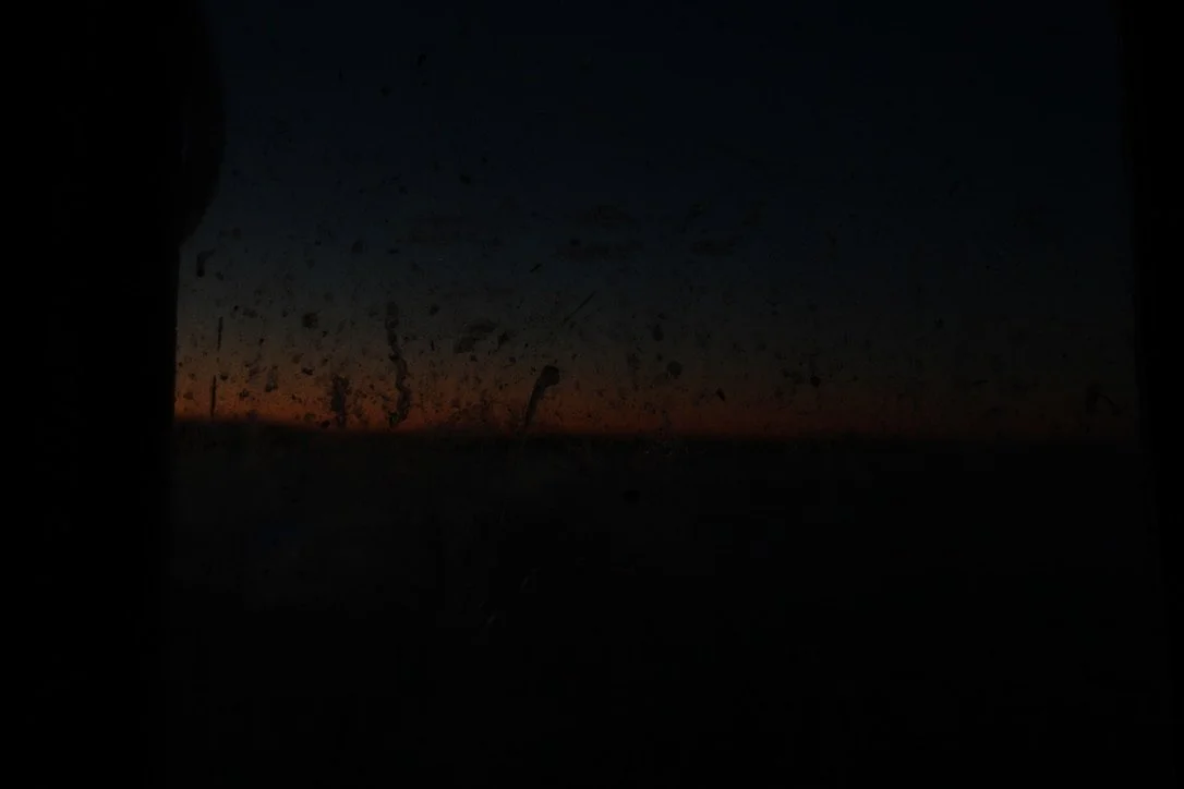
This sort of image – lacking obvious focus or subject – is reminiscent of the importance of stories. These overlooked details that our peripheries nevertheless scoop up and retain are left by the wayside in the strict adherence to numerical measurements of value. This is a photo looking through the salt-spackled window of a fishing vessel, as dawn breaks over Small Point. I’d guess that its this sort of detail that keeps a fishermen on the water, less than anything measurable in numbers.
SO, FINALLY, BACK to those three Bates students. At the Shortridge Coastal Center, a crowd of familiar faces gathered for their capstone presentation. It was a blue, albeit still-chilly spring day.
The students had spent their time here in Phippsburg chatting with scientists, fishermen, other longtime residents and historians. They held some interviews, hoping to find qualifying parameters to measure the social aspect of sea level rise. Residents offered insightful summaries of their own decades of bearing witness to change. “The Seabirds, the Golden Eyes and the Buffleheads,” one resident described, “used to go up in that cove in the northwest wind because it was completely, you know, in the lee of wind when it was cold. And they used to stay there all day. They don't go there anymore because there's so many houses there. It scares them, I suppose.” Another resident commented on the uncertain future of Popham Beach: “There isn't a beach now at high tide anymore. So I think that is a really drastic place to see actual sea level rise occurring.” (More of these interviews will soon be posted on the Phippsburg town website.)
The students listened for patterns in the interviewees’ language, marking common themes in emotive and value-based responses. This sort of qualitative analysis can be used to measure a community’s potential strengths and weaknesses in collaboration. For instance, if such analysis found that a community had very little overlap in their cultural imaginings of relationship to place, planning community engagement strategies could prove useful. Which is to say, “cultural imaginations” can (for better or worse) be intentionally guided towards more collaborative states.
As it turned out, the students heard many overlaps in these interviews. Two themes were most consistent: 1) growing uncertainty about the shape of the future and 2) a deep love for this place. Such collective love for place, the students said, can ease a community toward collective action in the face of big problems.
And stories, the students reminded us, give context to numbers. Like numbers, stories provide us something to share, to translate experiences through. They are not always perfect, because words are so very limited. But they are crucial to redefining and deepening the sense of inherent and inescapable connectivity.
Time on the mud and the water, past the shore edge, is made up of details not seen from land. It’s these collective details, Terry reminded me yesterday, that make a life. And its why regulatory, ecological, and social changes can be so fundamentally alarming. Changing details might not be apparent from land. But out in the harvest grounds, those changes are significant.
MAYBE I’M WEIRD, but when I think of the places that I have the strongest relationships to, I think of cold, northern coastal places. Phippsburg is razor-rocked, thorny, slippery, wind-swept, and mosquito-clogged. It’s also guttingly pretty and full of sheltered inlets. It’s muddily abundant. These sorts of places demand that you sit up and really witness where you are. Borrowing from singer-songwriter Greg Brown’s commentary on the Upper Peninsula, in such icy, quiet places, “you better damn well know your neighbor.”
Perhaps emerging through the long tunnel of winter into spring is so wonderful, in part, because it affirms some human connectivity that exists beyond the capacity of words to translate. Nobody experiences change in precisely the same way, but we all certainly came through a weird winter together.
Things will keep changing. But the sun is coming out now, and it would be a shame to miss it. If you got this far, thanks for reading. This was a meandering one. I look forward to meeting those of you I haven’t yet in the warm and festive stretches of these coming months.