The Balance of Harms
AT THE END of last week, several people forwarded me an email from the Maine Department of Marine Resources. The DMR was–and still is–soliciting public comment on a proposed new dredging plan for the Kennebec River’s federal navigation channel.
The Kennebec is a tremendous watershed. Its currents are complex and mighty. Like all estuaries, it acts as a nutrient and energetic artery between ocean and land. Below the surface, its bottom is an ever-shifting landscape of silt and sand, a place of constant growth and erosion, life, rot and tides. It is a tidal river and so the great seaward current does slow, stop and push inland, creating brackish water. Solemn sturgeon, stalwart bladderwrack, the rare tidewater mucket, shad, eel, striped bass, and many, many other beings live within the constant surge of this littoral place.
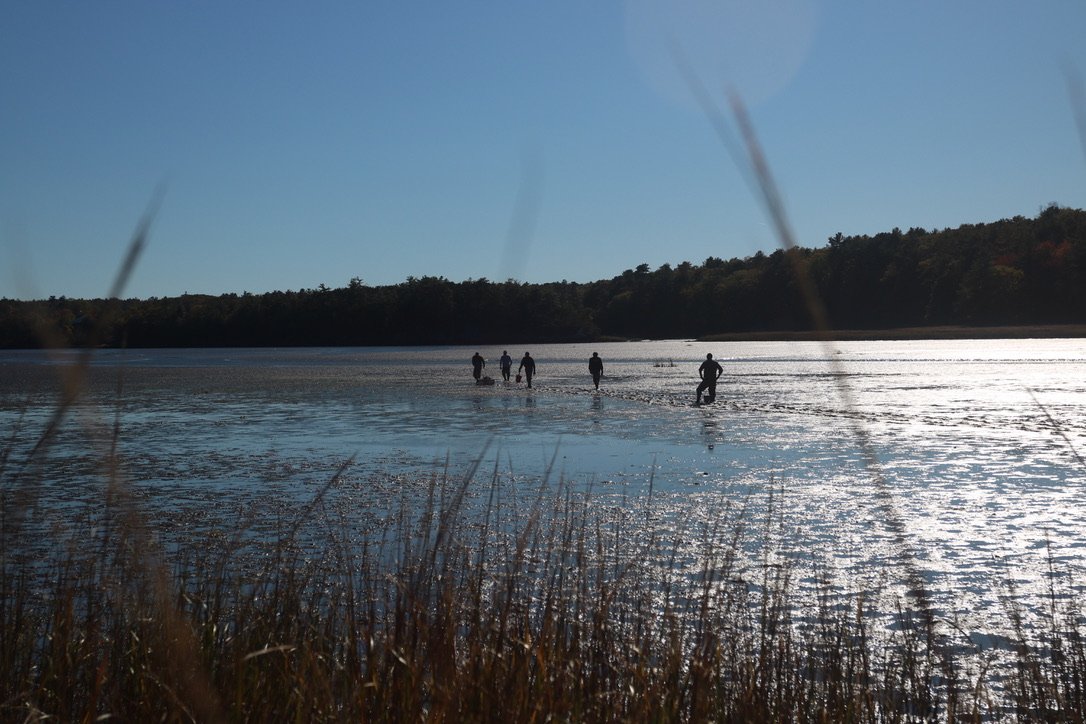
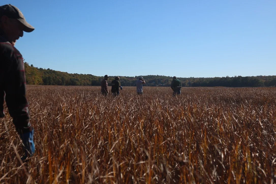
Phippsburg clam diggers make their way onto the flats with seed (AKA young clams). This is part of an ongoing attempt to re-seed historical clam flats and is part of the stewardship work, also known as conservation hours, that all harvesters participate in.
(There’s totally a metaphor here, something related to the big, old, generally unnoticed pressures of humanity on the human–those social windstorms that we lean into without second thought, until, say, heavy floods or droughts rock us.)
As fine sediment flows from upriver sources and the watershed’s small tributaries, it collects in places of slower current or river bends. Eventually, with enough of this benthic build-up, the Kennebec’s bottom shoals. This is a natural process. It is, however, a major problem if you’re interested in getting big vessels out to sea and back.
Likely–and hopefully–some of you have also seen the DMR’s email soliciting public comment. Three dredging sites are listed: Doubling Point, Popham Beach and Bath Reach, with a combined 60,500 cubic yards to be scraped from each. The disposal sites are the familiar Jackknife Ledge and Bluff Head. The first two dredging sites are also standard. Bath Reach, however, is a less commonly dredged area, further north, upriver of the other two. If I am understanding correctly, dredging at Bath Reach could reduce the frequency of dredging. (Disclaimer: I am no hydrology expert.) The new proposed dredging plan would occur between December and March, and, beginning at the end of this year, continue periodically for the next decade.
If you are concerned, have thoughts or comments about the impact of dredging, please do exercise your right to submit comments. See the end of this blog for instructions. I am told that, in recent years, when the dredging program has sought public comment, there have been few downriver stakeholders using this channel for discourse.
Of course, given the long and disappointing recent history of such attempts at community input, I can’t say that I blame folks for losing steam. In the mighty charge to keep the river clear for global industry and national defense, people downriver have come to expect their comments and needs to be sidelined.
Okay. I know I’m writing like everybody is up to speed on this dredging business. Let me back up a bit.
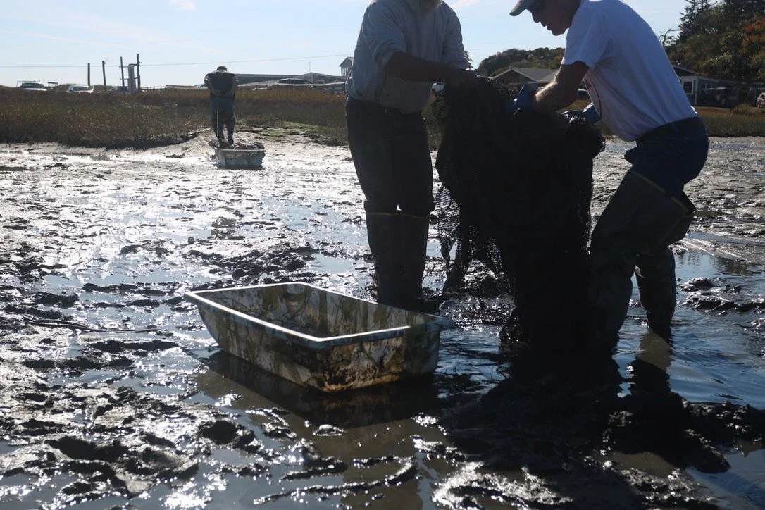
A warm day last fall. Clam diggers collecting netting laid with Phippsburg elementary students in the early spring. Great photos and info here: KELT.
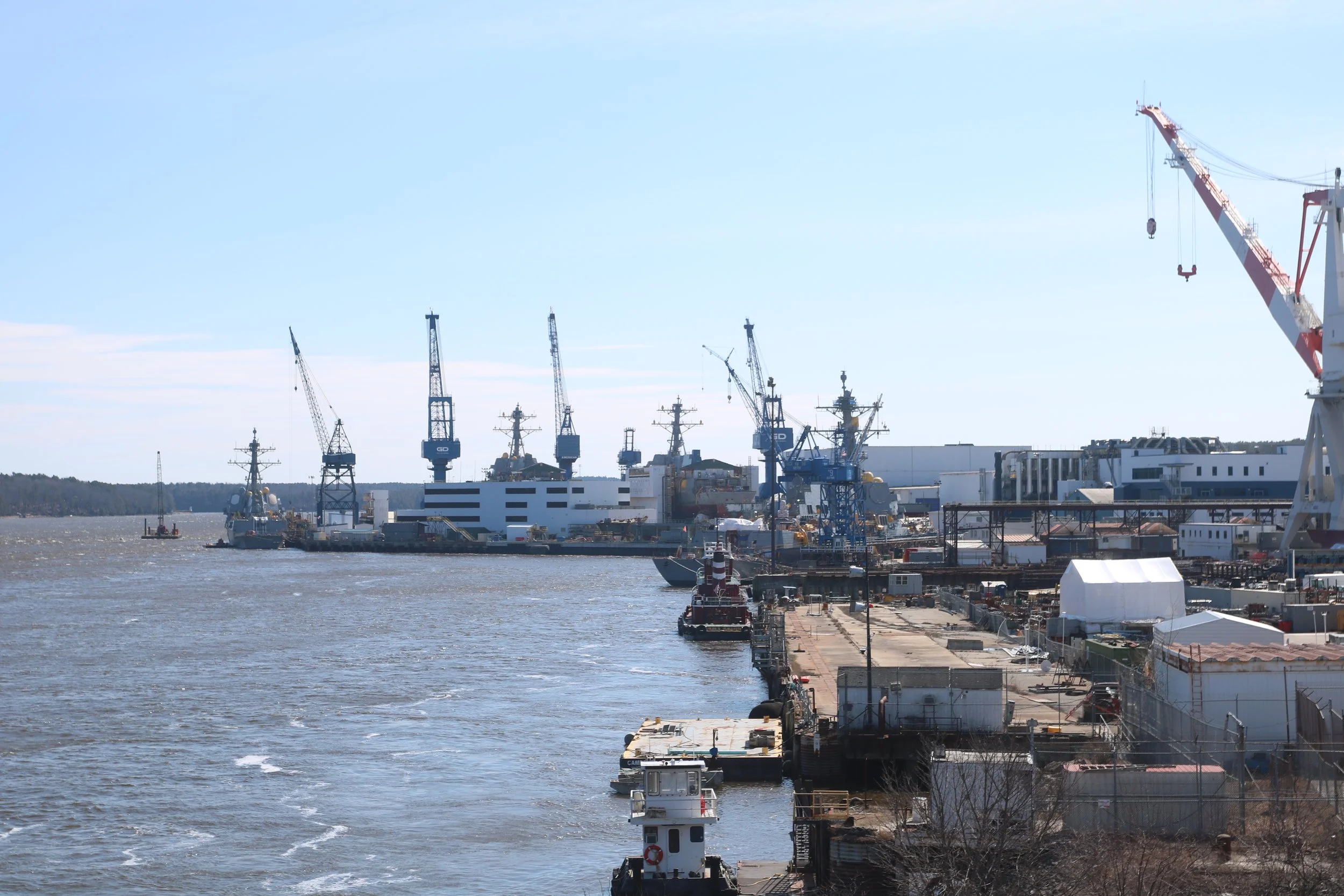
EIGHT MILES UPRIVER from Phippsburg, Bath Iron Works manufactures a significant portion of the US Navy’s destroyers. These vessels are mighty, and, depending on how you feel about military power, an important part of the navy’s global presence. The Kennebec River is deemed a federal navigation channel because of the consistent passage of these vessels. A federal navigation channel has specific parameters for depth and breadth that must be maintained.
As constant as the Kennebec can feel, it is in fact a totally mercurial place. Just like the rivulets of small sand-scapes revealed on Popham Beach after the tide sifts out, the sand at the bottom of the Kennebec moves constantly towards the ocean in “sand-waves,” rivulets shaped by riparian current and tidal flush.
Flowing 170-odd miles from Moosehead Lake to the ocean, the Kennebec links waters and lands, industries and people. It has in its length not only a huge amount of water pushing seaward, but a vast cumulative quantity of shoreline. The river’s name, “Kennebec” is an anglicized eastern Abanaki word, describing a large body of still water. Since long before colonization and subsequent industrialization, indigenous peoples have lived, worked, harvested and travelled within this riparian system–in fact, since the deglaciation period, some ten thousand years ago.
The cumulative length of this river is important in understanding just how much upland (on land) sediment is consistently flowing into and through this system. And deepening the understanding of the river’s history is helpful in affirming it as something vastly more complex than a simple cog in an industrialized system. Place is inherently personal.
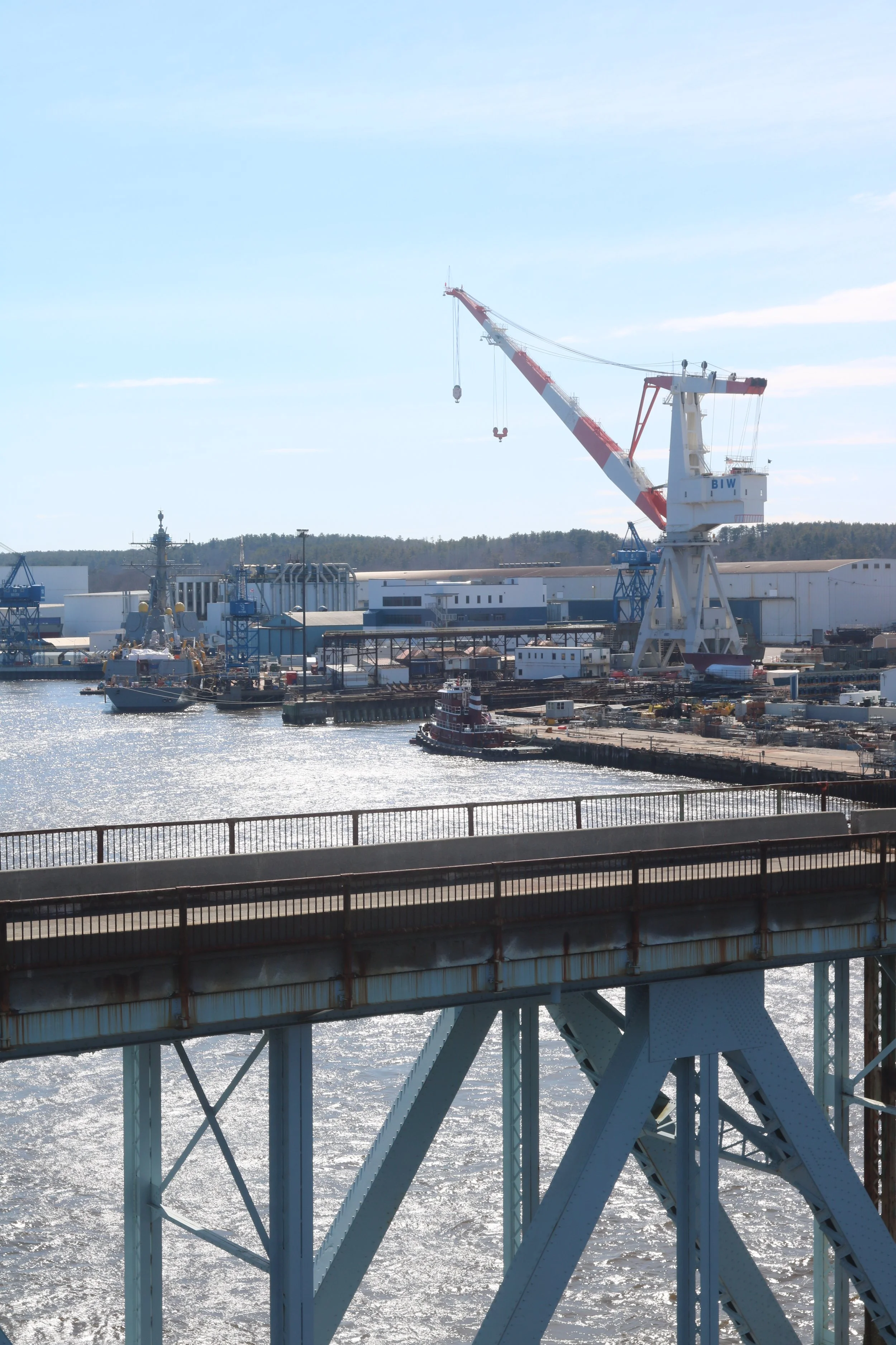
A familiar sight! I grew up visiting Bath and Phippsburg, but BIW always faded into the background. Its been interesting to give it more thought.
But I digress–sort of. To maintain the static specifications of a federal navigation channel in a riparian system subject to constant organic flux, industrial activity must be introduced. Thus the dredging.
WHEN A VESSEL is built at BIW, it generally takes three sea trials before leaving the old iron nest for good, as it were. So, in sum, it makes three complete roundtrips from BIW’s dry docks to the ocean and back, and a final, fourth, one-way trip to the high seas. These defenders are certainly deep drafted. It is not, however, the keel that risks scraping bottom, but the sonar hanging from the bow and the stern’s prop.
Phippsburg and Georgetown sit like sentinels at either side of the Kennebec’s mouth. These are residential towns, fishing towns, beach towns, summer towns, bitter lonely winter towns and towns of old ancestry. No matter how they sit in your mind, they are towns in which people live, with shorelines on which people work. They are towns of folks who need employment, are intimate with the water and land, and who are part of this midcoast economy.
BIW is the largest single-site employer in Maine, with some 7,000 folks working shifts at the water’s edge. The year-round populations of Georgetown and Phippsburg together total just over 3,100. Plenty of Phippsburg and Georgetown residents make good money up there, as draftsmen (congrats to them on last week’s strike and deal), machinists, welders, administrators, electricians. But of course, plenty of our residents also make their livelihood closer to home, on the water, the rocky intertidal and mudflats that form at the mouth of Kennebec watershed.
“Dredging,” state Representative Allison Hepler says, “Has long been on people’s unhappiness list.” Marine harvesters, conservationists, waterfront landowners and other stakeholders who live down river from the dredging sites have felt the negative impact of dredging for years.
But what does that even mean?
PRETEND, FOR A moment, that it’s warmer out. High summer. Go wander into the slow-moving edge of some big river. Look down. You’re at the edge, where the current slows. The water about your ankles sifts vaguely by and and the fine clouds of sediment you’ve stirred up obscure your feet. If you keep splashing about in the shallows, those clouds will keep lifting from the bottom, and the water will stay turbid. If you stay still, however, those clouds will disappear. Depending on the current’s strength, some of the sediment falls right away, back to the bottom. If the current is quite strong, however, much of the sediment will be carried off, down river. Your feet will emerge again.
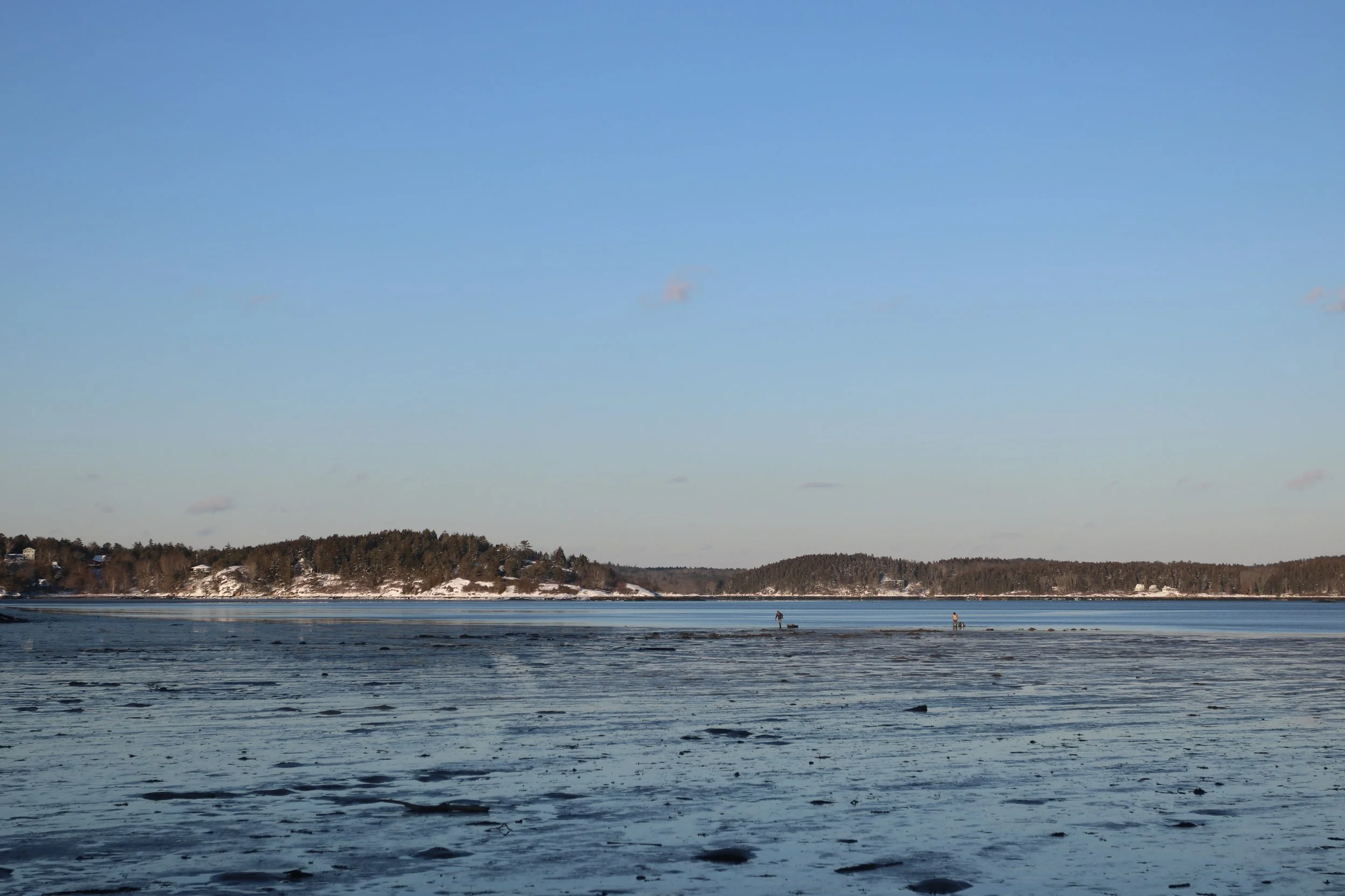
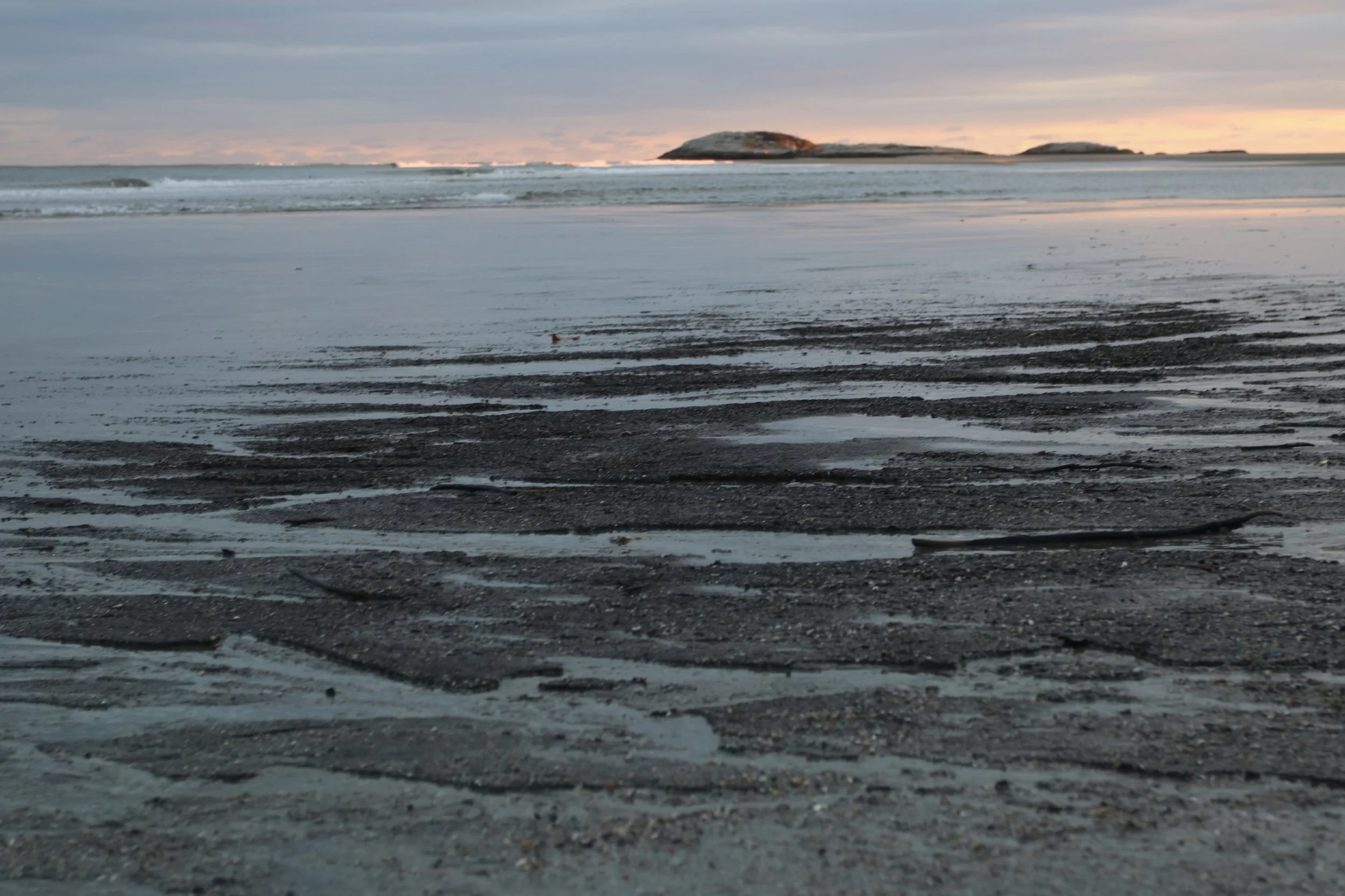
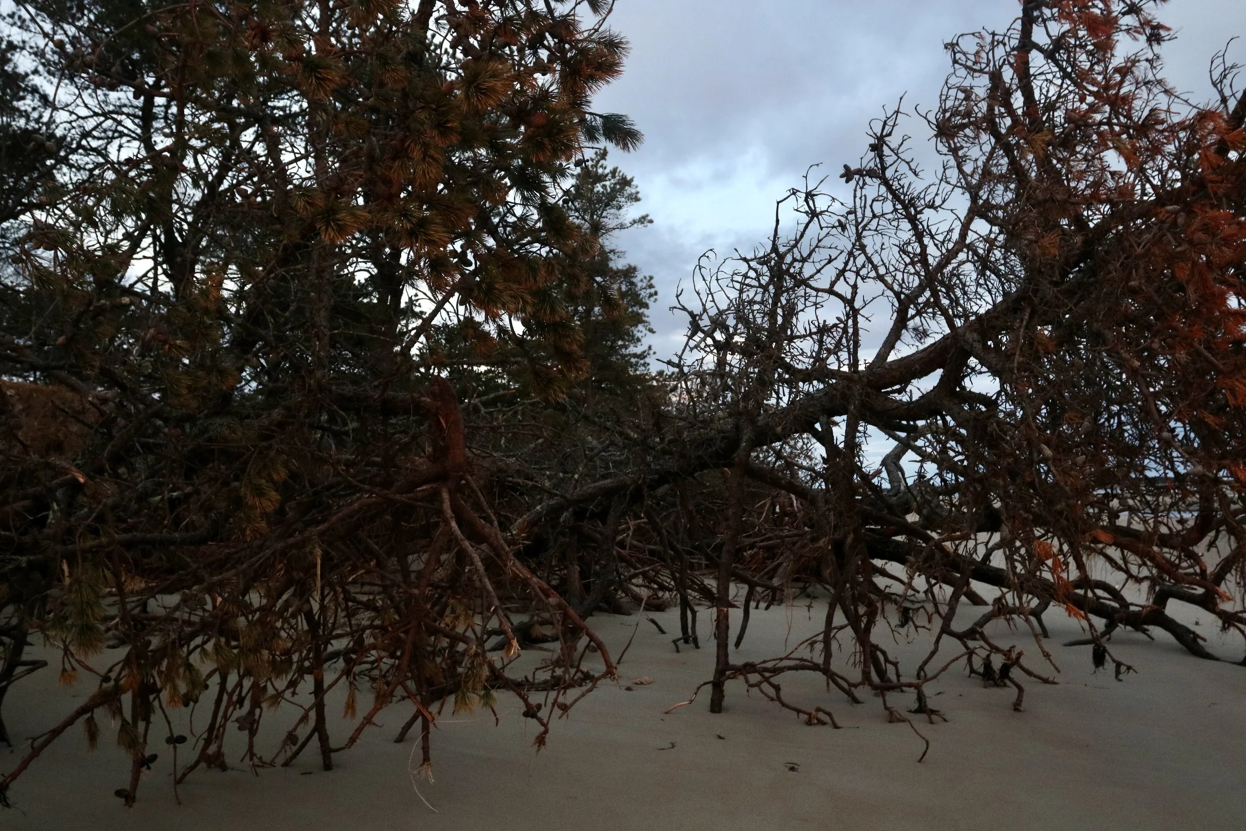
Chilly days of winter (gone by?).
Now magnify that footprint to industrial proportions.
Dredging vessels come in various models, but in their purpose are all similar to a land-bound backhoe. There is a machinated arm with the capacity to scoop and lift benthic material and carry it elsewhere for disposal. The sediment that dredging stirs up enters the free-flowing river system. Some of the sediment falls and some of it is carried downstream. Then, when the dredged spoils are disposed of in a deeper part of the river, the same turbidity occurs.
Last fall, Phippsburg clam digger Terry Watson texted me: Did I know if any dredging had happened lately? The clam flats of Atkins Bay were covered in silt. He couldn’t see the clams’ breathing holes–and therefore couldn’t dig. I asked around, but nobody knew from where that silt had arrived. Was it from dredging, a recent storm surge or something else entirely, far up the Kennebec?
A problem harvesters like Terry face is that very little research has been done on how the mudflats might be impacted by upriver industrial activity. Marissa McMahan, long-time Georgetown commercial lobster license holder and Director of Fisheries at Manomet Conservation Sciences, confirmed that “Mudflat habitat has long been overlooked, understudied, underloved, [and] underresourced." Just as, she added, the people who make a living on mudflats have been.
The impacts of such knowledge-gaps are compounded with increased climate volatility. In recent years, sand-waves at the Kennebec’s bottom are growing faster. This is likely a product of flooding, sea level rise, deforestation, and on-land development. All of this will increase upland erosion. Erosion makes for more turbid water. This, in turn, increases the need to dredge and the likely sedimentation of downstream environments.
But what happens to the shellfish in a mudflat during sedimentation?
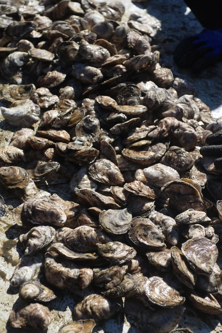
Table of oysters at Maine Oyster Company.
SHELLFISH ARE FILTER feeders, which means that to eat, they’re sucking water through their syphon, filtering out and absorbing suspended nutrients–and oxygen. When that water is full of particulates, their respiration slows and they syphon less water. This means they’re eating less, too. (Just as, in times of economic uncertainty, we buy less, make do with what we have, hang on and wait for a clearer future.) If the water stays turbid, clams, and especially juvenile clams, can suffocate or starve.
Fish and other motile creatures can more easily move away from re-suspended sediment. (Though not always–Richard Lee of Small Point told me about finding abnormal amounts of dead fish on the beach, after a 2011 dredging event.) Mature shellfish, however, are sessile–immobile. They have evolved to withstand some abrasive turbidity–but are vulnerable to chronic or overly heavy sedimentation.
Juvenile clams, on the other hand, are larval. They float around in the currents, waiting to get heavy and old enough to settle down for life in the benthos. If waters get too murky, they struggle to settle. Entire generations of clams can be decimated in this way. The livelihoods of clam diggers can be, too.
Short and long term histories are described in sediment. Ancient rocks crumble into sand over millennia, while minute canyons form and degrade with every tidal cycle. Maine writer Laura Poppick’s book Strata is an interesting read, if shoreline (etc) geology is your thing.
(In addition to their economic and social importance, clam flats are diverse ecosystems that support abundant lives. Herons, crabs, algae, fish, racoons, foxes, snails, worms: This is an endless list. Mudflats are part of the broader coastal habitat, which is, of course, part of the world. In this interconnected planet, the only edges ecosystems have are the conceptual ones humans have arbitrarily applied.)
ACROSS THE KENNEBEC’S mouth, in Georgetown, harvesters are feeling the same impacts of sedimentation. There were once 1,600 working acres to dig there. That’s reduced to just 200 now. Sagadahoc Bay has a relatively hard, sandy bottom, but Georgetown Shellfish Commission Chair Chad Campbell has noticed over the last years an increase in muddy siltation on the banks of the small creeks that drain the flats. The creeksides that were once the most productive clam habitat have slowed dramatically, covered in a new soft material.
Campbell said that he’s noticed more of this silty sedimentation in the last half decade. It’s possible that this, too, is part of a complex problem. Climate volatility leads to more run-off and sedimentation. If you’re like a clam and can’t simply up and move to a new place of less volatility, the imbalances keep growing, compounded by other ecological threats.
Though diggers and other stakeholders acknowledge that nobody knows what’s really happening under the water, as Campbell said, “It’s not good. It [the sediment] changes everything.” But, he added, “Those destroyers have to go out the river one way or another.”
Machines are such a strange interface between human bodies and the more organic world. This interface always make for interesting photos.
SUCH ACKNOWLEDGEMENT OF inherent complexity has accompanied the dredging conundrum for decades. Back in 2011, a collective of stakeholders appealed a permit to overdredge. It was an “emergency” permit: The USS Spruance needed to get to sea and the Kennebec was deemed too shoaled. Some of you reading were likely involved in that appeal.
Typically, dredging is only permitted for the winter season. The 2011 project was different, however, and the DEP issued an emergency permit for 70,000 cubic yards of river bottom sediment to be dredged in August. This is a demonstrably more harmful time for industrial riparian activity than other season. Vulnerable sea-run fish, like Atlantic Salmon and shortnose sturgeon are active and spawning in the river. Downriver, new classes of shellfish are young, easily smothered by turbid water. And on shore, tourism is at its height.
The appellants asked: Could the dredging company use a lower-impact machine? Could the spoils be dumped further offshore or “upland” (on land)–or even used for fill? If the need for an emergency dredge was, in fact, due to faulty calculations by the Navy, the appellants asked, Why should downstream people, habitats, beings and businesses pay the price?
The appeal went to court.
It is the court’s duty, in such a scenario, to weigh the “balance of harms.” Ultimately, the appellant judge sided with the US Army Corps of Engineers. The August dredging permit was sustained, its details unchanged. The type of dredging machine outlined was deemed most efficient. The spoils needed to be deposited back in the river system to avoid possible loss of sand to Popham Beach. And if the USS Spruance couldn’t get to sea on the scheduled September 1 date, the court decided, it would impact the largest single-site employer in Maine and would “have a cascading impact on naval operations around the globe.”
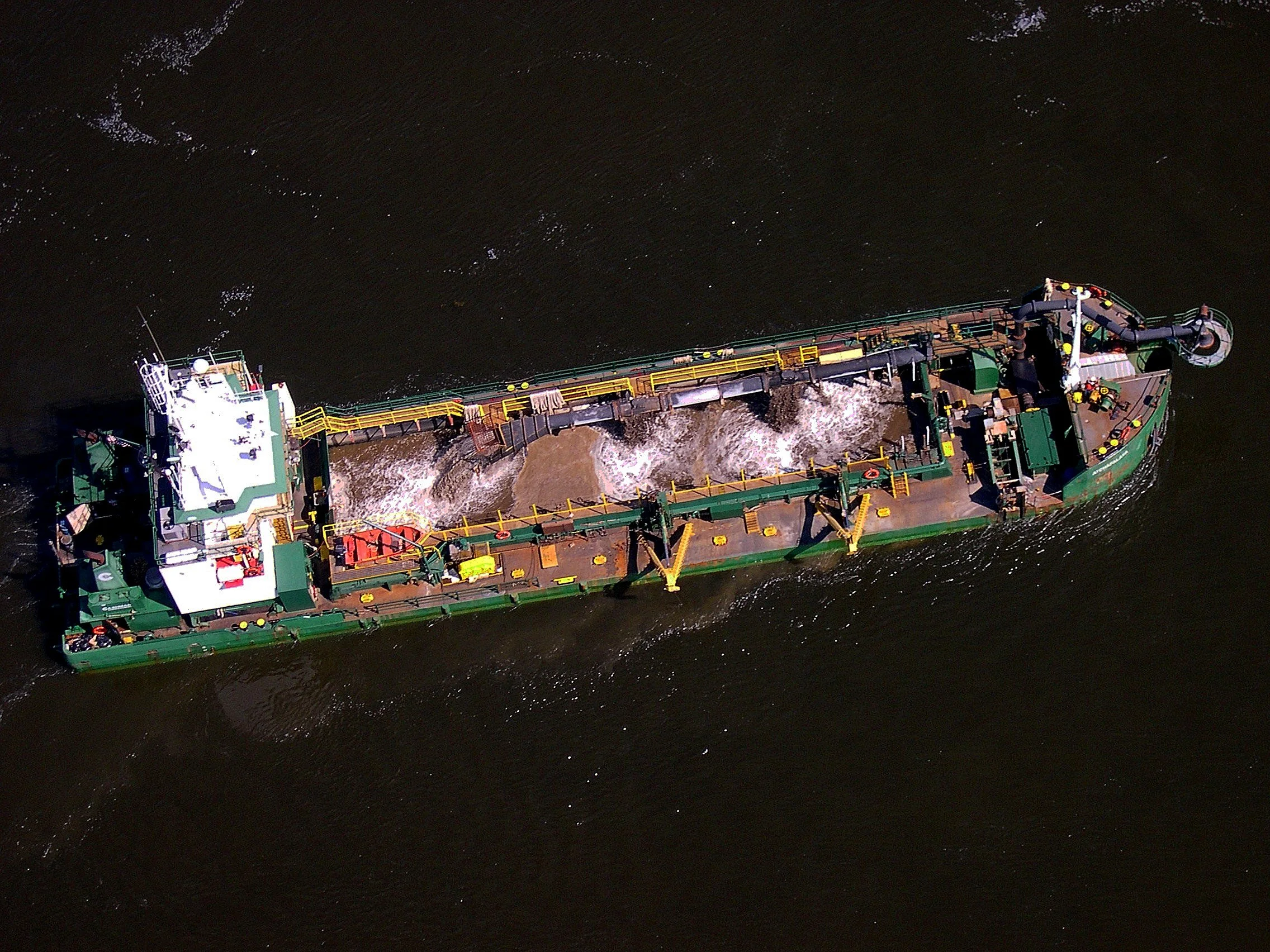
Dredging vessel, courtesy of Friends of Merrymeeting Bay’s Ed Friedman. FOMB has long been an advocate for the estuary as whole.
THIS NOTION OF balancing harms is, in a roundabout way, why everyone was forwarding me the same DMR email. Since that day Terry Watson texted me last fall, I’ve been trying to learn all that I can about dredging. There are so many truths to weigh in the issue, so many stakeholders, that the problem is a fascinating–albeit very depressing–one. It describes the false assumption that has plagued the human relationship to the ocean: endlessness. (This is, in part, why studying the North Atlantic cod fishery was so compelling. Another example of what was once thought to be magically infinite proven to be unsurprisingly mortal in the scope of industrialized capitalism.)
Bodies of water are often used as dumping grounds. What happens offshore, stays off shore, right? Out of sight, out of mind. This false assumption of an endless frontier (another mythologized space in the narratives of global exploitation) causes irreparable damage to the entire planet.
For me, the key question was posed well by those 2011 appellants: Who and what should shoulder the economic and ecological burden of global systems?
En route with Phippsburg clam diggers to the flats. A beautiful day with good conversation.
I KEEP HEARING the same refrain from the Midcoast diggers and fishermen: This is big business. Nobody feels like there’s room for their own voices to be heard, let alone legitimized. As Campbell added, “They could care less about twenty or thirty or fifty clam diggers making a living.”
Imbalances in the protection of people, ecosystems and economies reflect a system in which dignity is easily offered to some–while the rest have to find time, energy and support to fight for it. Since arriving to Phippsburg and being introduced to the problems I’ve been asked to work on, I keep thinking about the ways the big money can communicate so easily–often in symbolic gestures. Whereas those without vast capital to chuck at an issue have to shout very loud to be heard.
But let me reiterate: Regular maintenance dredging in the Kennebec is necessary. In fact, another 70,000-cubic-yard overdredge in the Kennebec is planned for December 2026. The most outspoken stakeholders have always underscored this fact: Decision-makers must constantly balance many factors. It’s tricky.
THERE ARE MANY small ways to offer dignity. There are many ways to withhold it. Over this last winter, the notice for an upcoming maintenance dredge was sent out. From February 17 to March 31, Reed & Reed Inc. was dredging BIW’s Dry Dock Submergence Basin.
Echoing a Phippsburg lobstermen’s notes on dredging operators’ indifference to fouling lobster gear, the notice statesd: “Fishermen are advised to relocate gear to minimize gear interactions.” The blunt vagueness of this warning underscores a system of power: who makes the rules and who pays for them.
There is an accompanying photograph of a creased paper map, with a thin, hand-drawn line indicating dredging activity area. I tried to zoom in to read the key, but even at 400%, some of the text was illegible.
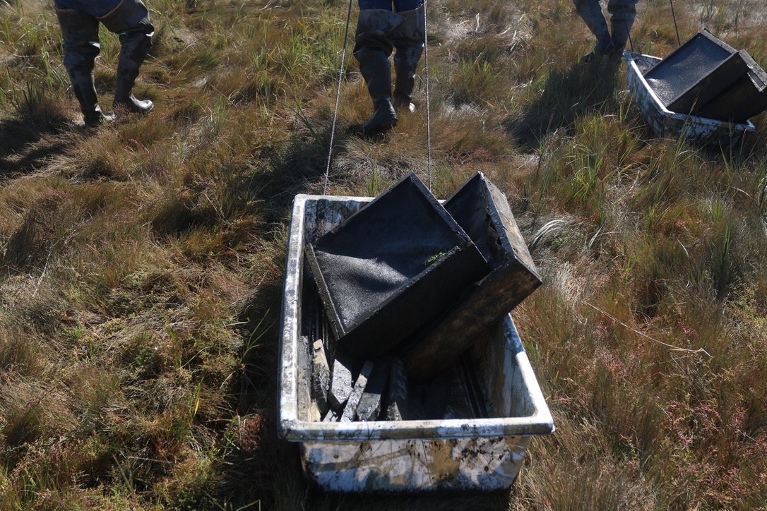
Phippsburg clam diggers collecting seeding survey gear. A yearly activity.
REEXAMINING SYSTEMS OF power is a useful practice in an increasingly delicate, industrially-crowded ecosphere. Valid reexamination, however, requires equitable attention to, research in and knowledge of any given causal system. That’s a complicated way of saying a simple thing.
So here’s an example: Someone proposes increasing the average size of naval ships built at BIW, from, say, destroyers to battleships. This would likely create a need for more frequent or aggressive dredging in the Kennebec River.
If we had more empirical evidence into how or if resuspended sediment from dredging impacts downriver mudflats, it would be a lot more difficult to dismiss the deep anecdotal evidence that downriver stakeholders have been providing for years.
Actually, that isn’t a hypothetical proposal. Here’s a quick news snippet with historical context:
SINCE THE LATE 1980s, the Naval ships that BIW workers typically build are Arleigh Burke-class Destroyers. The USS Spruance was one, its name a nod to the previous Spruance-class Destroyers. Since April 2014, plans for the new flight of Arleigh Burke-class destroyers, the DDG(X), have been in the works. The first vessel of the new design was projected to be active in the 2030s.
In December of 2025, however, the current president announced the need for a new class of active Battleship–the “Trump-class.”.
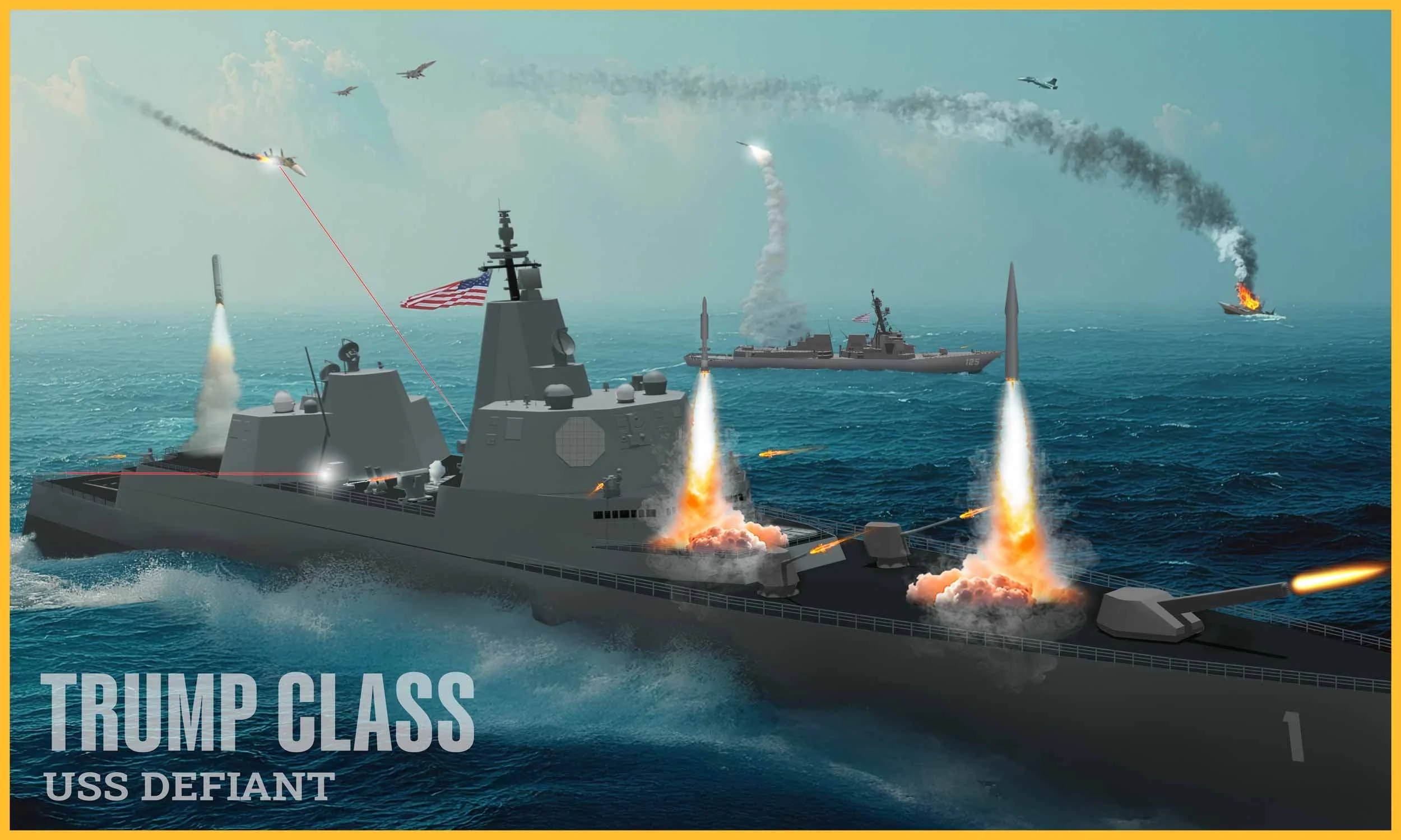
Graphic released by the US Navy.
Battleships are typically larger than destroyers, with deeper drafts, heavier armor and larger on-board munitions. So, capable of a bit more violence for longer periods of time. Should these “Trump-class” Battleships actually be made (this is highly uncertain), the need for dredging the Kennebec River would likely increase.
When one system’s needs or whims get prioritized over all others, big imbalances result.
Erosion on Popham: an obvious, probably unnecessary reminder of the results of systematic imbalance.
Of course, I can’t say that nobody benefits from imbalances. Certainly, environmental injustices give many people enormous wealth. For example, in many twisted ways, I have benefitted from the imbalances of this petro-world. But it's become very clear that adhering to a system of such unjust imbalances is hugely unsustainable.
THERE ARE A few main themes that I come back to when thinking about the dredging problem.
First, a problem’s inherent complexity does not negate the fact that real people and real places are impacted by it. This is a simple idea, but one that seems too often lost when a problem gets abstracted by the immensity of its very complications.
Second, dredging in the Kennebec River is, to some degree, necessary to maintain a healthy local economy and a big navy. Whether or not one supports the maintenance or potential expansion of one of the globe’s largest militarized fleets, it is fairly inarguable that BIW is a crucial part of Maine’s economy. As one Phippsburg resident put it, “There does need to be industry for a country to be successful.”
Finally, however, in this time of increasingly greater ecology and economic fragility, we’ve got to get better at reexamining the status quo. If we’re in the constant process of balancing harms, a periodic testing of the scales and parameters is crucial. The parts are outdated. Let’s redetermine who we are protecting in the courts and in global and local markets alike. In the name of dignity, health and long term sustainability of our places and communities, let’s not lose sight of the fact that might (e.g., money) rarely makes right and the protection of hegemonies should not be upheld to the detriment of the rest of us who live “downstream.”
If you would like to chat, offer insight, factual corrections or share stories, as always, please do reach out: kcart@islandinstitute.org.
And, if you would like to learn more, or submit a comment, here is a copy of that recent email:
DMR Solicitation of Public Comment Regarding Dredging of the Kennebec River Federal Navigation Project, Bath
Pursuant to 38 M.R.S. §480-D, sub-§9, the Maine Department of Marine Resources (DMR) is required to provide the Maine Department of Environmental Protection with an assessment of the impacts on the fishing industry of a proposed dredging operation. The US Department of the Navy is proposing to conduct maintenance dredging of the shoaled portions of the Kennebec River Federal Navigation Project between Phippsburg and Bath, Maine.
The Navy plans to dredge approximately 60,500 cubic yards (cy) of clean sand from shoaled areas at Doubling Point, Popham Beach, and Bath Reach and place it at a previously used in-river placement area north of Bluff Head (in about 95-100 feet of water) and at a 500-yard diameter placement area located 0.4 nautical miles south of Jackknife Ledge (in about 40-50 feet of water), respectively. Approximately 35,500 cy of material will be removed from the Doubling Point area, approximately 10,000 cy of material will be removed from the Popham Beach area mouth, and approximately 15,000 cy of material will be removed from the Bath Reach area. On average, the combined dredging at Doubling Point, Popham Beach, and Bath Reach takes approximately 8-11 days to complete. Historically, dredging occurs in 2-3 hour periods separated by a 1-hour transit to and from the disposal site. Dredging may occur day or night. Dredging operations are scheduled to begin in 2026 and are expected to occur periodically over ten years between December 1 and March 1.
The material is proposed to be dredged using either a hydraulic hopper dredge or a mechanical dredge. Material will be transported by scow to either the in river disposal site or Jackknife Ledge Disposal Site. The haul route from the Popham Beach dredging location to Jackknife Ledge will be the same route as previously used.
DMR will accept verbal and written comments about the potential impacts on fishing in the area to be dredged. If 5 or more persons request a public hearing prior to April 26, 2026 DMR will hold a hearing. Comments should be sent to DMR at the email or mailing address listed below by 5:00 pm, April 26, 2026.
Department of Marine Resources, Attn: Environmental Permit Review, 21 State House Station, Augusta, Maine 04333 or email: EnvironmentalReview.DMR@maine.gov.
Download a map of the dredge sites and placement sites (PDF file)